Live catalogue analytics
Near-real-time USGS earthquake records for Türkiye with configurable lookback, magnitude filters, timestamps and source transparency.
OPEN RESEARCH SOFTWARE FOR TÜRKİYE
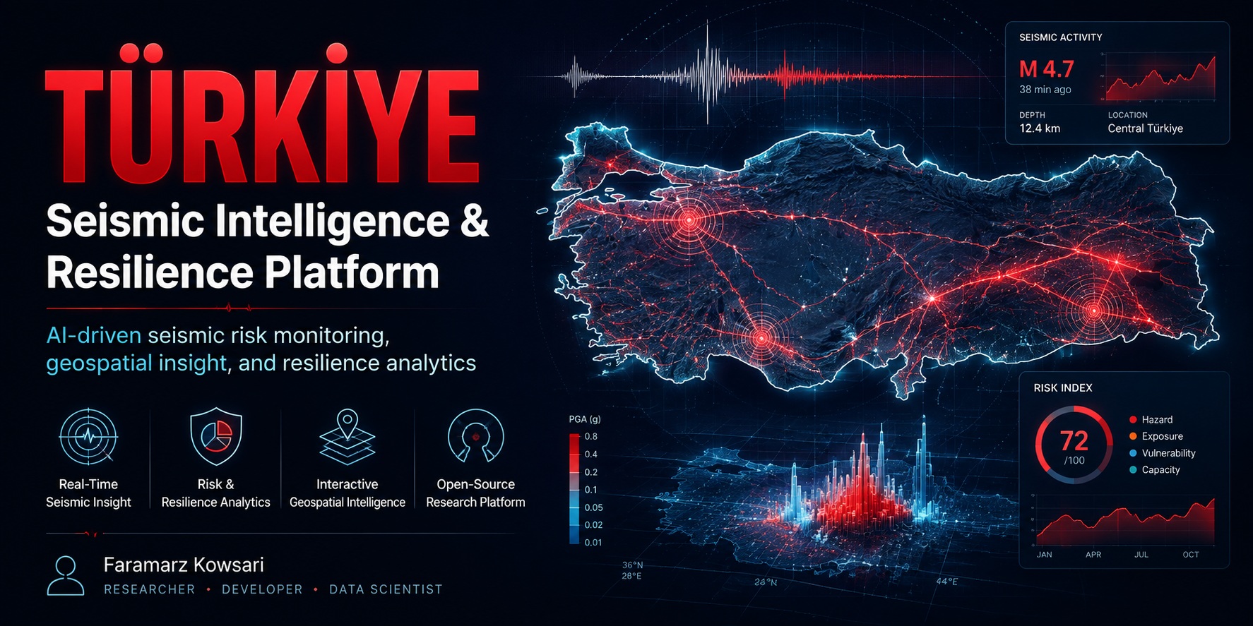
A transparent, reproducible platform that transforms earthquake catalogues, geospatial inputs and satellite acquisition metadata into decision-support analytics for Türkiye.
CORE CAPABILITIES
The platform combines catalogue analytics, quality control, spatial exploration, exposure screening, satellite workflow readiness and research-ready exports.
Near-real-time USGS earthquake records for Türkiye with configurable lookback, magnitude filters, timestamps and source transparency.
Magnitude, depth, shallow-event share, Gutenberg–Richter b-value, rolling event-rate anomaly screening and DBSCAN spatial clustering.
Radius-based screening of user-supplied population, facility and infrastructure points for transparent exploratory proximity analysis.
Copernicus STAC acquisition discovery, orbit metadata inspection, same-orbit pair planning and processed InSAR displacement-point exploration.
Deterministic demo data, automated tests, CI, documented methods, release validation, citation metadata and archived research outputs.
CSV, Excel, Parquet and GeoJSON-compatible exports support scientific Python, GIS, Power BI, Tableau and downstream analysis.
SYSTEM ARCHITECTURE
Public and user-supplied data are validated, normalised and processed through a transparent analytical layer before reaching interactive reporting, APIs and export workflows.
THREE DATA MODES
Synthetic, explicitly labelled demonstration data for immediate execution without credentials.
Recent public earthquake records constrained to the geographical region of Türkiye.
Upload a local catalogue and normalise common schemas into the platform's internal event model.
RESPONSIBLE-USE BOUNDARY
The platform does not predict earthquakes, issue early warnings, certify buildings, estimate official losses or replace AFAD, USGS, local authorities, engineering inspections or emergency-management institutions.
CITATION & PRESERVATION
Version 1.0.0 is preserved on Zenodo with a permanent DOI, providing a stable scholarly reference independent of the evolving GitHub repository.
Türkiye Seismic Intelligence & Resilience Platform (DepremNabız AI), Version 1.0.0.
https://doi.org/10.5281/zenodo.21797833
AUTHOR & MAINTAINER
Author, Software Engineer and AI researcher based in Istanbul, working across research software, data engineering, artificial intelligence and reproducible technical publishing.
ORCID · Google Scholar · GitHub · LinkedIn · Official Website